Home »
Blogs
»
Gurugram: GIS enablement for better urban planning
Gurugram: GIS enablement for better urban planning
October 15, 2019
Author:
Pooja_Sharma
Introduction
Gurugram Metropolitan Development Authority (GMDA) is responsible for the planned development of the area under the authority, which is currently estimated to be 800-1200 Sq. Km. The main function of GMDA is to prepare plans, policies and proposals for guiding GMDA’s planned development through the process of Master Plan, Zonal Plans, Layout Plans and Urban Extension Projects etc. The plans usually include city level plans, sub-city level plans, comprehensive traffic and transportation plans, infrastructure development plans, traffic management schemes etc. The sanctioning of building plans in the areas under GMDA’s jurisdiction is also to dealt with by GMDA. For urban planning, it has been proposed that the Authority will acquire as well as sell developed land for the planned development of GMDA area. After acquisition, it will be responsible for developing the acquired lands as per the provisions of the master plan and zonal plan. The developed land and the constructed properties will be used for residential, commercial, industrial and institutional uses, according to the procedures.
Challenges
While planning for the newly emerged Metropolitan Region, there are several challenges:
- The area is vast covering 5 Municipal Bodies and vast rural areas expanding between 800 to 1,200 sq. km. with lots of diversity in terms of physical development, while Gurugram is a metropolis with world class facilities, the hinterland is not so developed socio-economically and infrastructure wise.
- There are multiple agencies and multiple stakeholders like Municipal corporations, Gram panchayats, TCPO Haryana, Revenue and Disaster Management department, Haryana Industrial Development Authority, Public works department, Haryana Urban Development Authority, Public Engineering department etc. All these departments are working in Stove pipe manner, rarely having any integration for common decision support system.
- The main activities of GMDA involve land acquisition, land and infrastructure planning and then land allotment. All these activities depend on spatial information, for which different sets of databases are required: the cadastral data, the land use data, the existing infrastructure data. Then further tools will be required to plan the metropolitan region using the base data and decide upon the rules and regulations of land development. For this mammoth task the automated spatial tools are required.
Solution Adopted
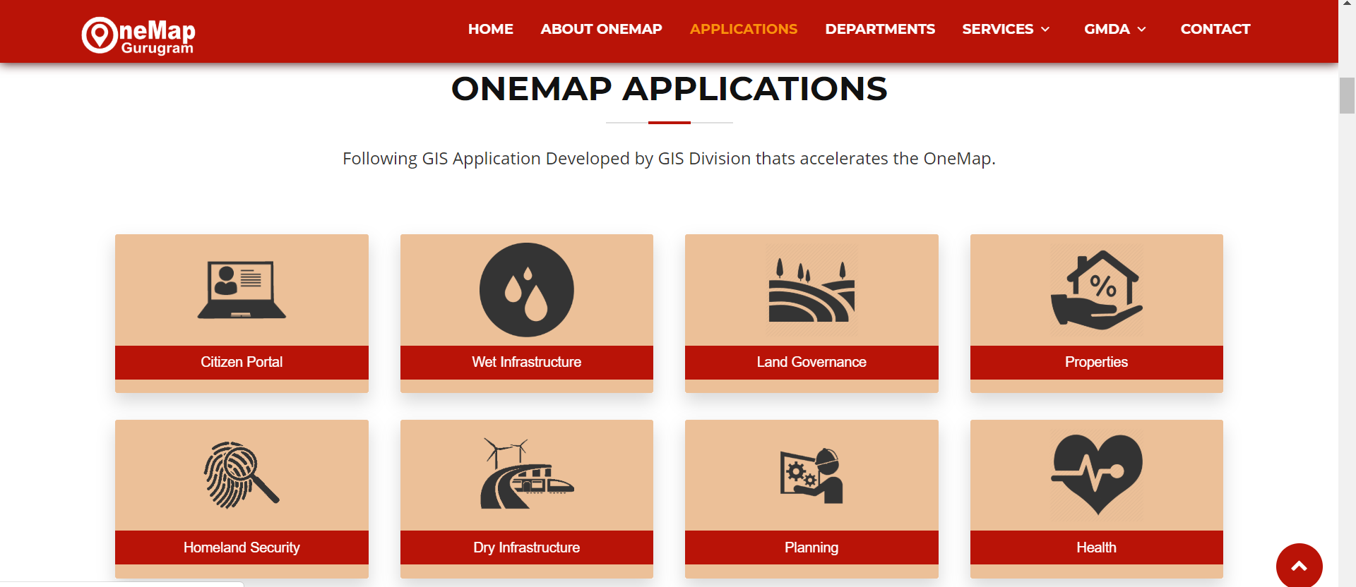
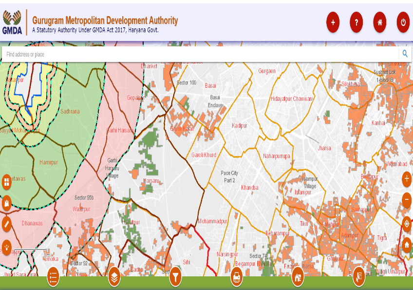
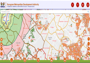
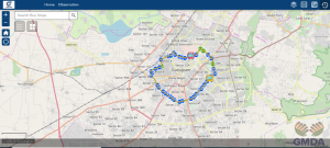
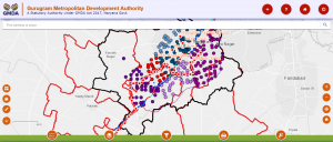
GMDA adopted a hub type of framework for the collaboration of different departments under Smart City. IT implemented the One Map Gurugram platform. The Platform clustered the GIS layers of information into different applications as per departmental requirements.

This involves the following:
- Citizen’s Portal
- Wet Infrastructure: Water Distribution Network, Sewage Network, Drainage network and recycled network with Network Asset details.
- Land Governance: It includes Master plan, control points etc.
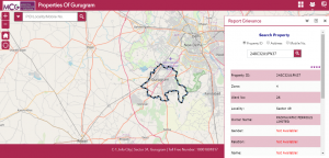
- Properties: involves the details of each property. It can be searched by Property Id, Address or Phone Number.
- Homeland Security includes, police jurisdiction, police infrastructure and Cases reported each police station wise.
- Dry Infrastructure: Rail, Road, Telecom Towers and Metro lines
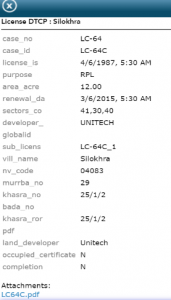
- Planning: It provides details of Planning Boundaries, CLU Building plan details, GMDA Area, Sultanpur lake, HSVP Award. It provides filtering to search for licensed DTCP.
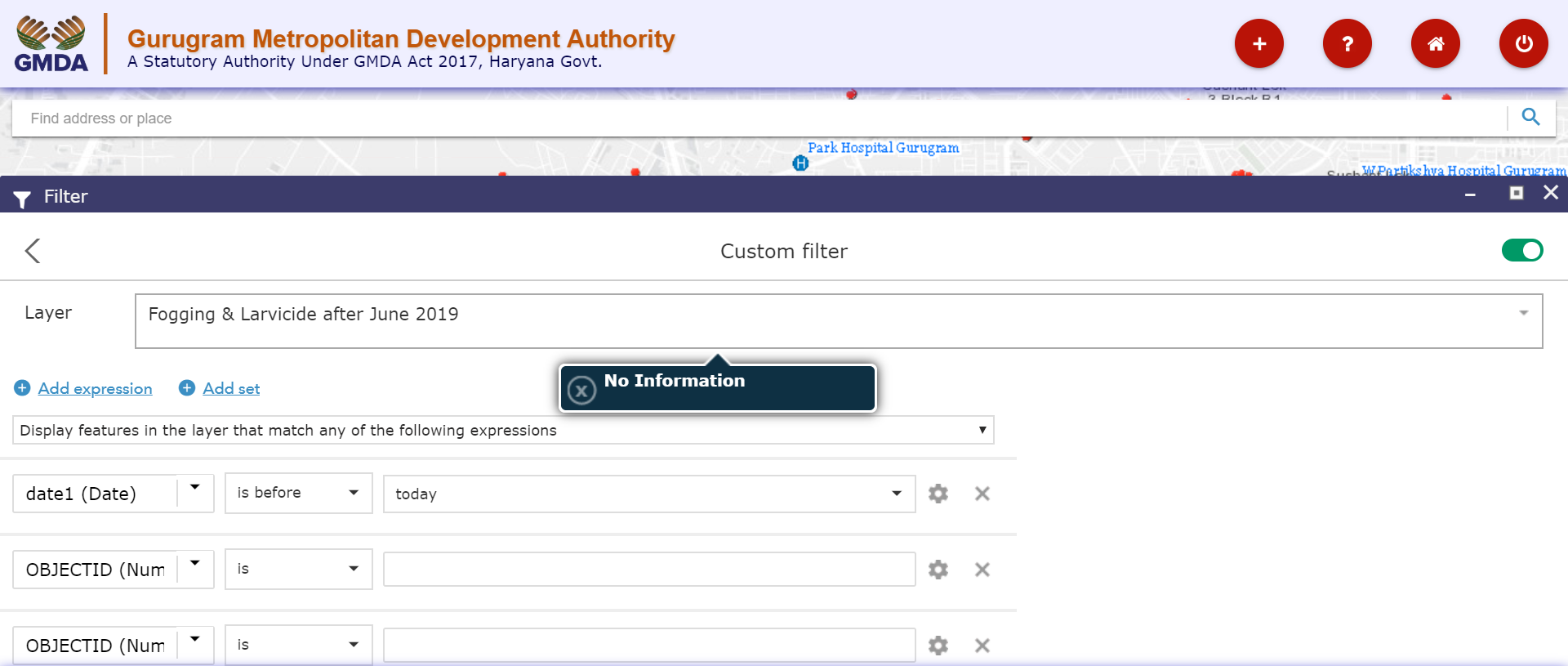
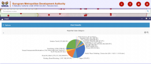
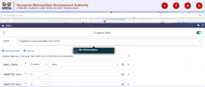
- Health Facilities marks all major hospitals in the Gurugram. The Health Layer has year wise cases of Vector Borne diseases, the name of patient and year reported. It also has the details of Fogging undertaken by municipal body to control Vector Borne disease. The Application provides the facilities to query the data and generate results.
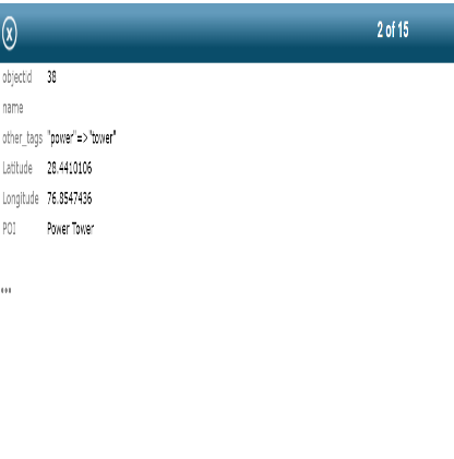
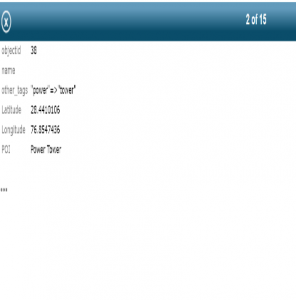
- Power infrastructure: The layers include the Distribution Line (Feeder), Primary Overhead Transmission, Secondary Overhead Transmission and Bus Bars. The queries can filter the following details, Conductor type, Conductor Make, Installed by, Insulation, Voltage, Number of wires, Operating voltage, Circle, Division, Subdivision and Complaint Address.
- The Kundali, Masewar Palwal Expressway is marked along with the Buffer zone. The other public land available under different civic bodies like panchayat, and MCG are also mapped. NCZ maps the natural topographic features like Hills and water bodies. The land use and land cover is also thematically represented for the year 2016.
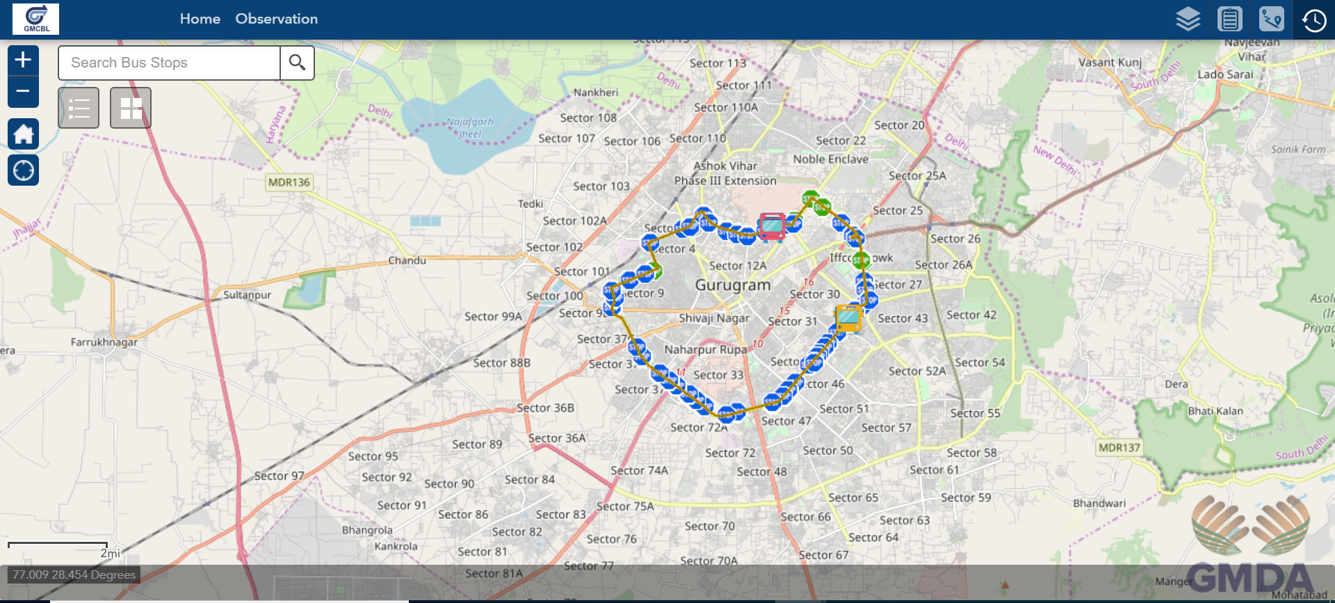
- GMCBL marks all the internal bus routes and the bus stops. And it provides a crowd sourcing App to collect information about the Bus stands. It provides facilities for Real time tracking of Bus.
- Upcoming Infra: Provides details of different upcoming projects in the region.
Key Benefits:
- The portal provides an aggregated platform for spatial and non-spatial details about the city, required for city administration by different departments.
- The portal provides one collaborative platform for different departments to interact with each other and take decisions.
- It has led to evidence-based decision support system, like crime case reported or vector borne diseases spread etc.
- It provides intelligence in governance through Map-based decision-making.
- It provides details of projects undergoing in GMDA.
- It provides link of different Organizational Apps.
 GOVERNMENT
OF INDIA
GOVERNMENT
OF INDIA